Tuesday 3rd May
There was no early walk today as we had a day tour with a scheduled 7.45 am pick up. This turned out to be 8.45 though due to bus issues.
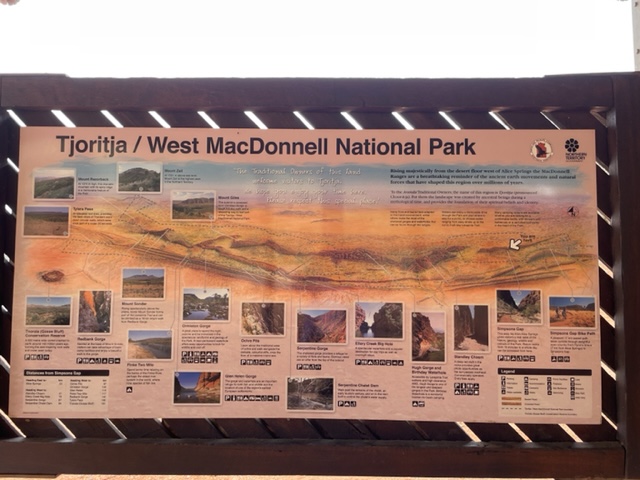
The trip today was operated by Emu Run Experience and was out exploring the west MacDonnell ranges. The first stop was at the John Flynn memorial, who pioneered development of the RFDS, and this was located just out of town where his ashes are buried.
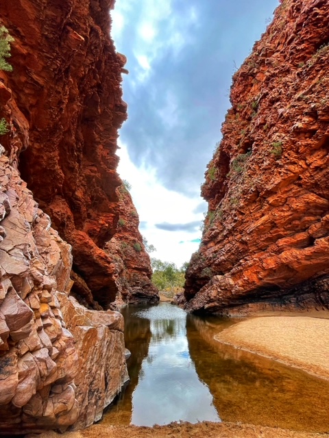
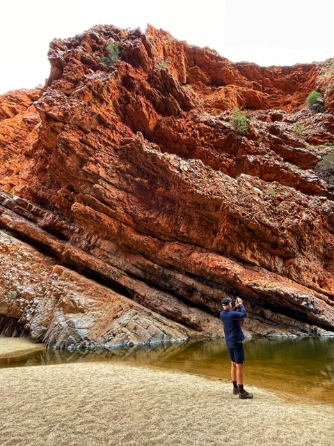
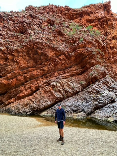
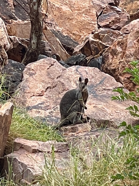
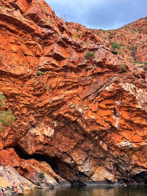
Travelling 15 minutes further out of town brought us to Simpson’s Gap which was our second stop. We stayed here for around 30 min as the walk from the car park along the river bed to the gap takes around 10 minutes. The geology here was just amazing and we even spotted a rock wallaby which is somewhat of a rare treat.

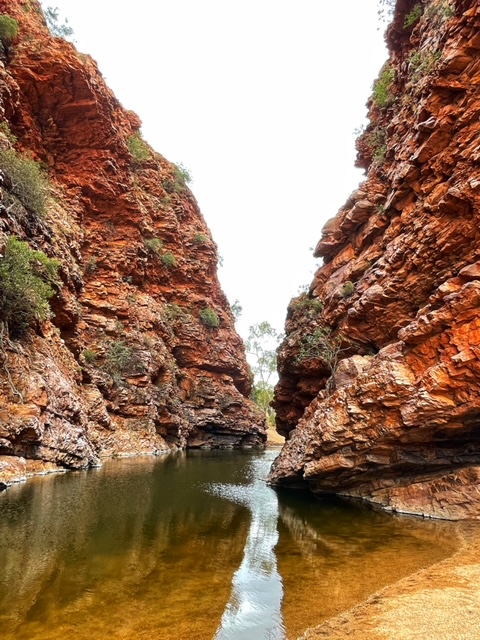
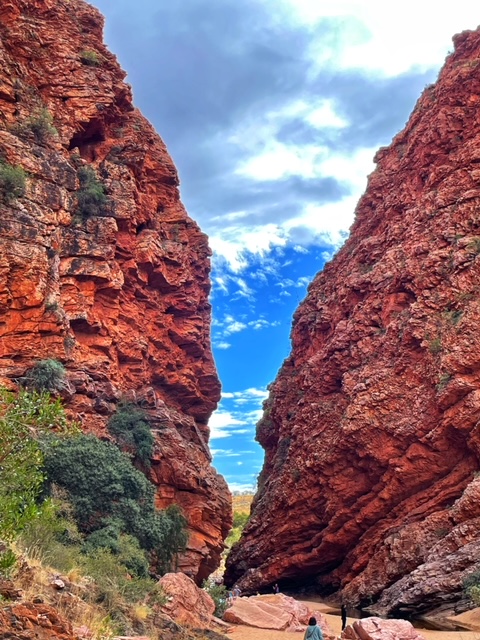
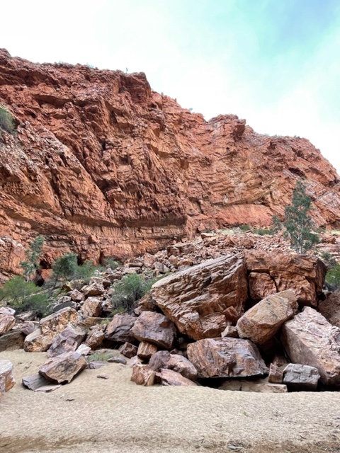

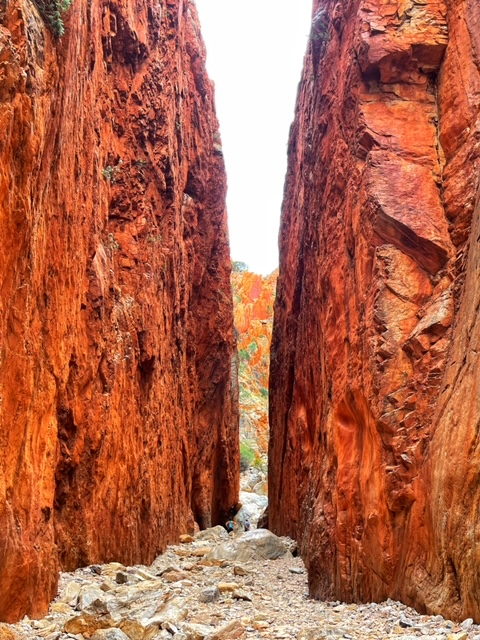
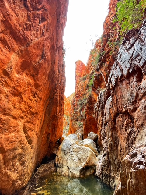
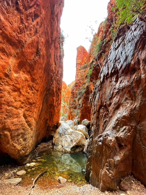
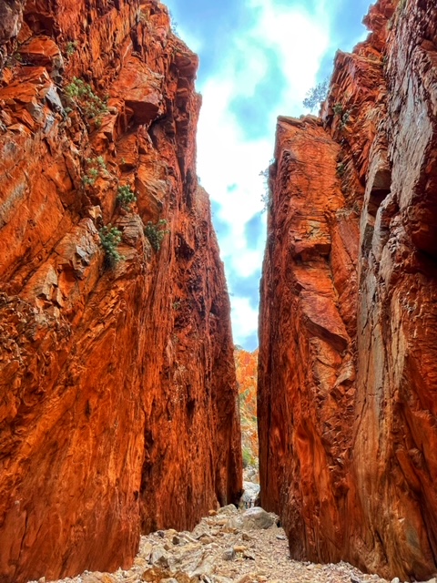
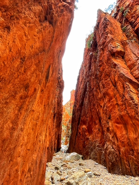
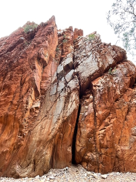
Travelling 30 minutes further along the road brought us to Standley Chasm which is a sacred woman’s site in indigenous culture. The Chasm is a bit older than the MacDonnel ranges; at around 1000 million years and is named after the first European teacher of Alice Springs who spent part of her late teaching career in the region.
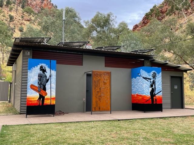
The Chasm was originally filled with a plug of volcanic solo rite but this was eroded away by water action over millions of years. We spent about 45 minutes here as the walk from the car park to the Chasm is a return trip of around 20 to 30 minutes, with time included for photos. This also allowed for a coffee and cake stop at the indigenous run and owned cafe before heading off to the next stop on our journey at the Ochre Pit, a further 30 min drive along the highway out of Alice Springs.
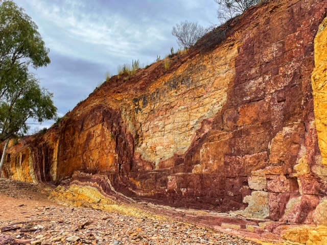
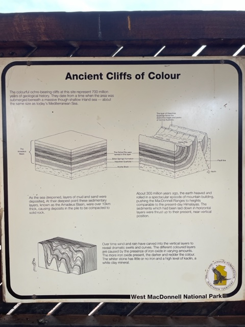
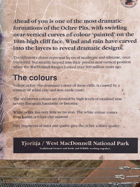
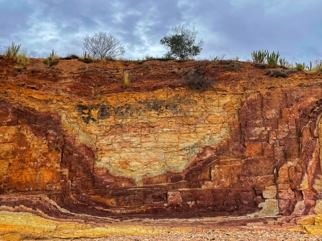
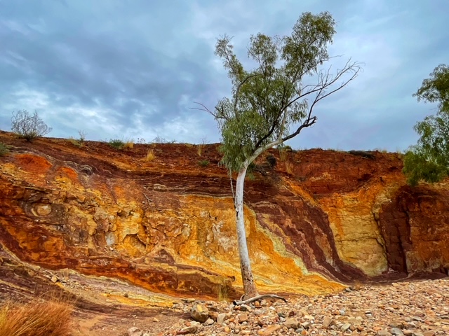
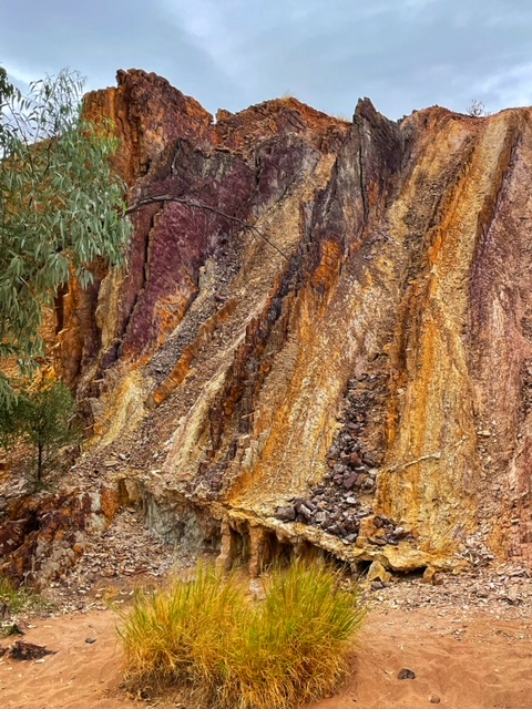
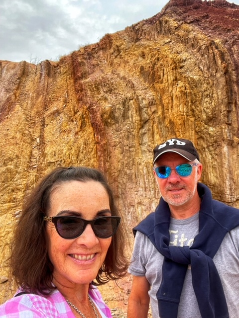
The Ochre Pit was an impressive site. A 300 metre path leads to a large area carved out over the years by First Nations people to source the Ochre used for many different reasons but primarily for the body painting of boys for their initiation ceremonies. The array of colours in the rock, from white through yellow to red, was just beautiful.

Our next stop was just a quick photo stop at a lookout with a view to Mount Sonder, located just a few minutes drive further along from the Ochre Pit. This area is popular for a number of reasons but, most notably, as a place that Albert Namatjira used to paint and can be seen in many of his artworks.
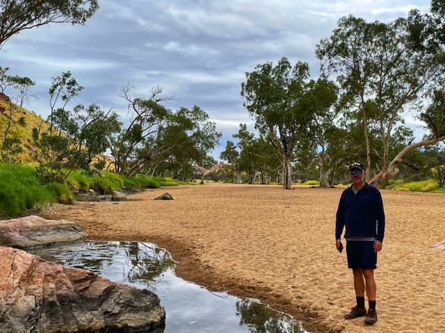
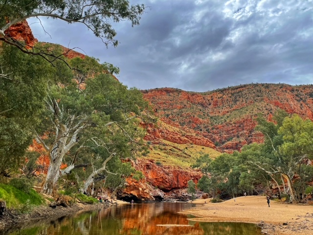
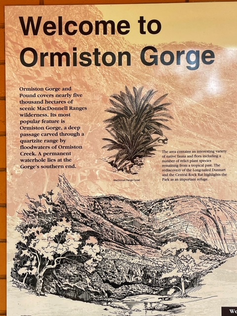
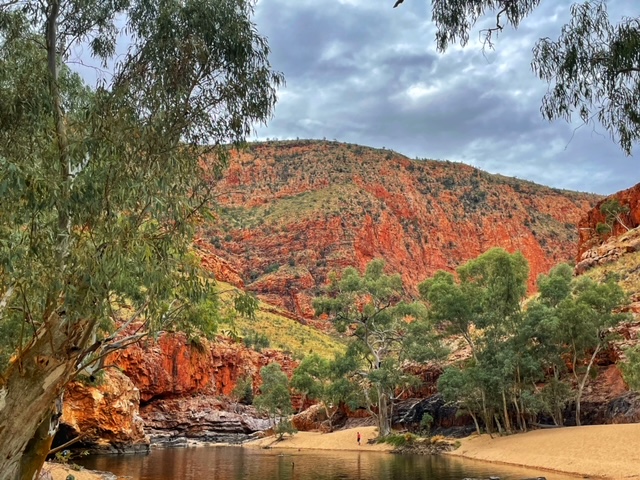
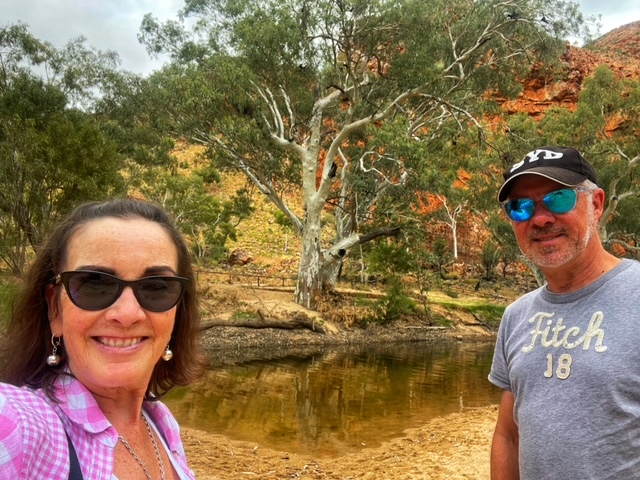
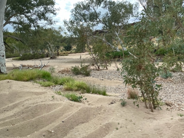
We then turned back to head to Ormiston Gorge for lunch and this was just about 10 min back along the road we had traveled in on. This stopwatch for 45 minutes but you didn’t really leave enough time for swimming. I suspect if we haven’t had the delay this morning we would’ve had longer here to enable people to go swimming.
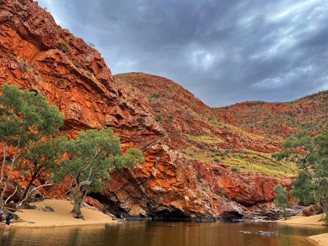
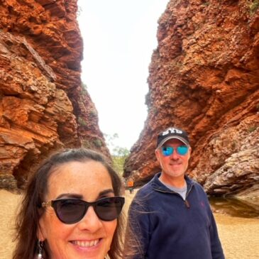
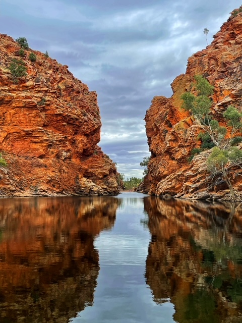
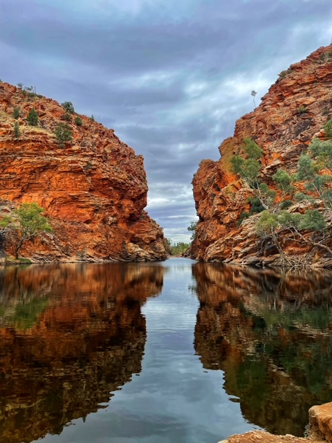
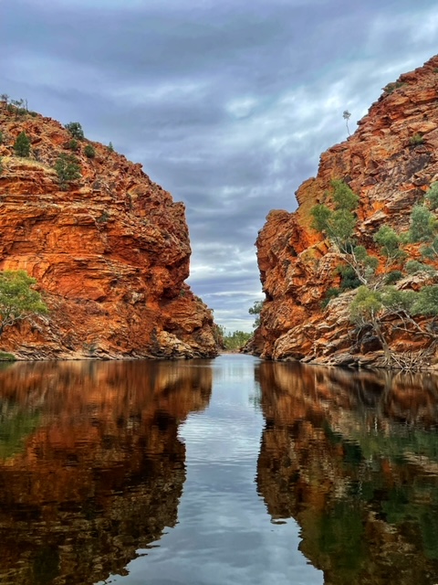
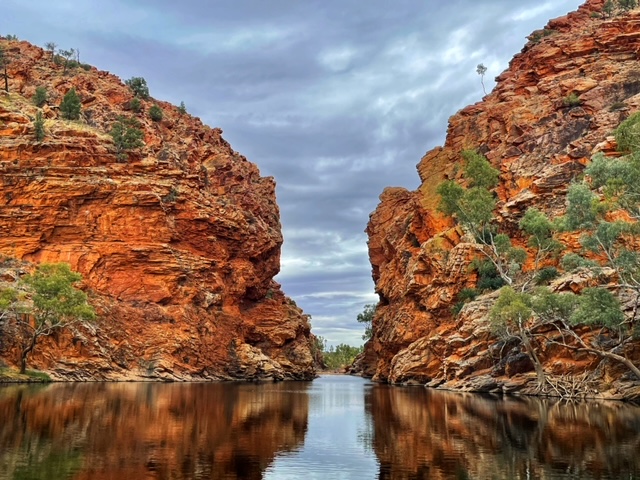
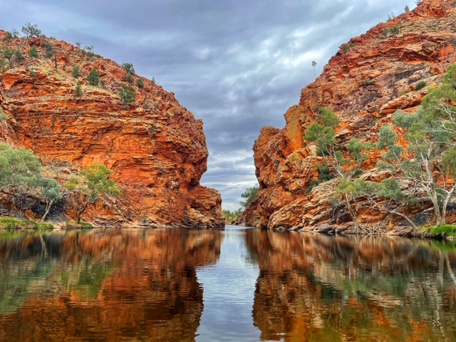
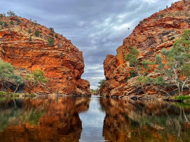
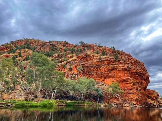
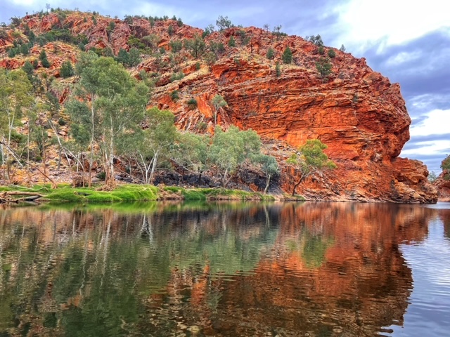
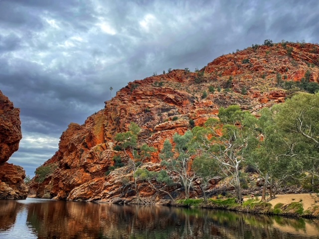
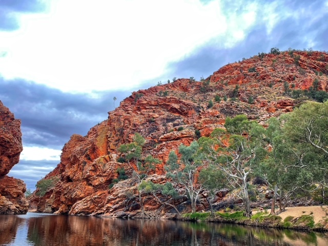
It was almost 3 pm by the time we departed Ormiston Gorge. We were headed back towards Alice (now 128 km away) and our last stop for the day was about 30 minutes away; at Ellery Creek.
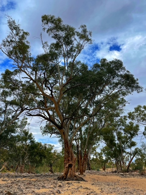
As we left Ormiston Gorge, Ali pointed out the Red Mallee tree that is abundant in this area. They look like a shrub but they’re actually a tree with the trunk growing below ground and this is the preferred tree used by indigenous to make boomerangs.
Ellery Creek was beautiful. This was another area where you could go swimming if you wanted to but apparently the water is very cold, around 14°, and cold is something the young guy I quizzed, who’d just come out of the water, could attest to.
The bus pulled away from Ellery Creek at around 4.15pm and we got back to town around 5.30 pm.
It was our last night and we were dining back at Tali. This time we were going to choose from the Asian side of the menu. The irony was, though, that most of the Asian dishes were not available for the night! Ha! Great way to end the trip!